Posts

Showing posts from 2010

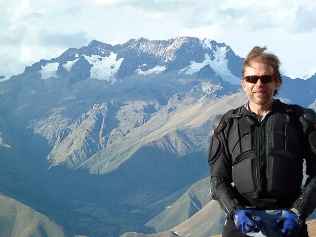
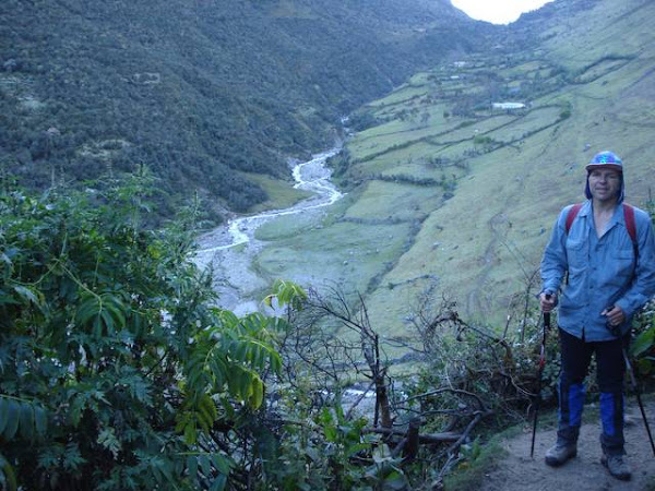
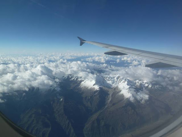
Post trip wrap up for Chile (Patagonia) & Peru

Image
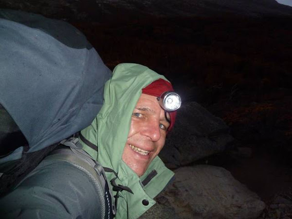
Overall I was very happy with the entire trip, the walk fitness training four months prior paid dividends, I was able to do the big walks without undo duress. I saw a lot of tired souls on my treks.

SD Card - photo recovery

Image
It is 3:30 am in the morning, which my body says is 12:30pm Cusco time yesterday Jetlag - It will take a few days to adjust to the 15 hour time shift. My mind is agitated anyway dealing with the sore tooth and recovery process that I need to do for the deleted photograph images from my SD card.

Home sweet home.

It was a long flight home around 34.5 hours of travel time. I have few complaints, the flights were pretty well within scheduled times. LAN airways are as good as any airline I have been on, and the DVD entertainment systems seem to while the time away quite quickly.

Cusco: cancelled visit to Quechuan village.

Image
Last night I organised to go to a Quechuan village about 45 minutes drive from Cusco with a fellow traveller - Phil. Unfortunately due to a bad tooth ache on the rear molar I had a very unsettled night, together with a bit of a stomach upset, so I had to bail out. I was truly looking forward to this experience; as one thing I missed in Peru was an understanding and relationship with the contemporary Quechua speaking indigenous peoples. I saw them working in the fields and around in the towns, but there is no interaction other than an attempt by some to sell nick-knacks in Cusco.

Abra Malaga bike ride downhill all the way to the Sacred Valley.

Image
Today was one of the highlights of my trip. It was a great combination of fun mountain bike riding on continuous down hill runs,  and seeing some of the famous ruins in the Ollantaytambo and Sacred Valley areas.

Last Day of my Jungle trip: Manu Park Day 7

Image
Our last day in the Manu, it has been a long haul with an average 6 hours per day boat trips combined with 9 hours and more of taxi or bus on each end. But we are in the jungle to see the life, and this was what was needed to see it.

Erika: Manu Park Day 6

Image
We were up early as the Romanian couple and a Canadian girl had to leave today. In some ways I would have liked to have left too as I have had enough. This trip would be better at 4 to 5 days. The animals are great, but the long days sitting on boats and the humid weather take their toll. Also if you can cut out the travel time by flying in to Boca Manu, all the better.

Yanayaco: Manu Park Day 5

Image
We drop into a village called Yanayaco , Boca Manu. It is a small village on the river bank. The kids are curious and friendly. People have mobile phones here, though I would not say that they are by any means affluent.

Lake Salvador: Manu Park Day 4

Image
5:30 am start.  Lucky for the early night, so it was not too hard to rise for the early morning wake up call.  We were offered, and accepted the brilliant coloured sunrise for the start of the day. It's a special day for us,  as we get to venture into Cocha Salvador, home to the endangered giant otter.

Lake Salvador: Manu Park Day 3

Image
Today we entered the depths of the jungle, we head up river towards Cocha Salvador. Numerous reptiles ie. caiman and tortoises and birds are spotted along the way.

Boca Manu Lodge: Manu Park Day 2

Image
The rest of our journey in Manu national park is on long boats. This is probably the best way to see jungle wild life and birds due to the density of the jungle foliage. Any sighting of animals will be when they come to drink water or at villages where there is a clearing.

Jungle Trip - Erika Lodge: Manu Park Day 1

Image
Manu national park is located in southern Peru. It is in the Amazon basin ie the rivers eventually feed into the Amazon river. UNESCO recognised it as being a biosphere and listed it as a world heritage site

Aguas Calientes to Cusco

Image
The train leaves at 9:00am, and we were supposed to be at the station at 8:30am. It seems an interminable time to wait 30 minutes, especially since I arrived at bit earlier at 8:15am.  I was supposed to go to Ollantaytambo, but the tracks have been wiped out of existence for a few km due to landslides. We get a bus transfer on station prior.

Machu Picchu

Image
4:00am, I am almost used to this time slot. Luckily Jan and I elected to have an early night last night. I wanted to get to Machu Picchu by foot, rather than by bus and be there for the opening time.

Totora to Aguas Calientes – Day 6: Trek Choquequirao to Machu

Image
Today's walk was a mixture of pleasant sites, not so pleasant sites and adrenaline pumping adventure.

Yanama to Totora - Day 5 : Trek Choquequirao to Machu

Image
Yanama goodbye.  I fell in love with this place and it was time to leave. What a pleasant exit with a wonderful extended view of the meandering rio Yanama valley and the rural scene on its banks

Maizel to Yanama: Day 4 - Choquequirao to Machu Picchu

Image
It rained last night, tents were wet but the morning bright. We were in for a treat with a dramatic walk into the fertile valleys of Yanama.

Marampata to Maizel - Day 3: Trek Choquequirao to Machu

Image
A big day ahead. At 6:00am we arise to a sunny morning with some residual cloud in the valley below.  At 7:30am we break camp and return along the track towards Choquequirao. I feel revived, but still a bit tired after yesterday's mammoth effort. It was an easier sleep on the grassy base rather than the stone floor of yesterday's camp site.

Maramapata and Choquequirao: Day 2 - Trek Choquequirao to Machu

Image
Choquequirao is a very pretty set of ruins and it has a great aspect, set on a ridge that captures the sun efficiently. This real estate would be worth a fortune in the Western world with the divine views from all dwellings.

Cachora to Playa Rosalina: Day 1 Trek Choquequirao to Machu Picchu

Image
After a hearty breakfast, at 8:00am we say our goodbye to Jan's wife and I meet Ucco our arriero (mule handler and cook). Jan's daughter sheds a brief tear and it is time to begin our journey.

Cachora

Image
Cachora elevation 2850 metres, bearing 13.43806S 72.82568W. Somewhat lower than Cusco, is easier to acclimatise. I had a sound sleep, and am looking forward to relaxing in a quiet town.

Cusco - Cachora

Image
I wanted to get out of Cusco (or is it Cuzco ? the spelling is not fully ratified on any place name in this country !). It is too full on for my first day, and the altitude is a bit much. Cachora for me seems a better option as it is quieter and at 2850m, a better height to start from than Cusco's at 3300m.

Flight to Cusco

Image
Traveling from Santiago to Lima to Cusco. The flight starts at 08:40 in Santiago, with a short stop in Lima and then it arrives at around 15:00 in Cusco. I was glad to leave Santiago, because I just could not feel comfortable there. With the stress and confusion resulting from high population means I cannot relax in big cities.

Punta Arenas to Santiago

Image
There was a bit of a wait in the morning for our transport to Punta Arenas, so a game of cards was on. Typically backpacker games are the likes of sh#thead , so it's and essential one to learn in order to be part of a social group. I just wish the vulgar name would change.

pièce de résistance - Torres Del Paine

Image
It was raining this morning - the Japanese guy, Todd and Sara all decided to leave. The French guys and me were gobsmacked: how can you get this far and decide to leave ? Torres del Paine is just up there !

Britanico to Chileno

Image
Dramatic mountain valley with ice and watery scenes, a wonderful place to camp. Ughh! Mice ! Time to beat a retreat.

Paine Grande to Campento Britanico

Image
Going up the Valle de Frances was a special treat - this has to be the best part visually of the W trek. It was so windy and wet, we campers dried and packed our tents in the common room at the refugio as it was nigh on impossible to do so outside.

Refugio Grey to Refugio Paine Grande

Image
The W track places a feature at each apex of the W. The first being Glacier Grey. Glaciers are solid waterfalls of ice and are, like their watery counterpart pleasing on the eye and senses. The rainy start is no dampener to my visit.

Puerto Natales to Torres Del Paine park to Refugio Grey

Image
Last night I booked the bus to Torres del Paine, because I was heading into off season they wanted an extra 10000 CLP to guarantee a seat back to Puerto Natales, as they would have to specifically send a vehicle down ie. normally 10000 for return trip, now it's each way.

Punta Arenas to Puerto Natales

Image
I spend the day travelling to Puerto Natales and getting ready for my trip to Torres Del Paine. A building proudly states that we are 51 degrees 43 minutes and 39 seconds south. Not quite being aware of the currency I got overcharged for my camp stove fuel (US$20 for a litre of methylated spirits !) and I am bemused by the unpreparedness others are when it comes to hiking in the extremes of this area.

Off to Chile

Image
It all begins with a flight from Melbourne to Punta Arenas.At 5:00 am Melbourne time it´s time to rise. The flight was at 7:00am, I left 5:15am, tired as I never sleep well before flights. The drive to town was slowed to 40kph by roadworks on the Tullamarine, but I made it in time for the big haul.

Cycling at the Tour Down Under in Adelaide

Image
Members of my cycling club – The Bayside Bandidos - have been attending the Adelaide Tour Down Under cycling event for quite some time. After hearing about the good fun they had been having I thought that it would be great to attend one myself. There was much hype with Cadel Evans and Lance Armstrong and a number of other top names attending, so I had to go !